
Map Matching
Snap fuzzy location data from any GPS device to the most likely driven route.

Snap fuzzy location data from any GPS device to the most likely driven route.

Find the fastest or shortest route between multiple waypoints.

Enable usage of API inside your system by having connection between GLP's road network and your internal or 3rd party road network.
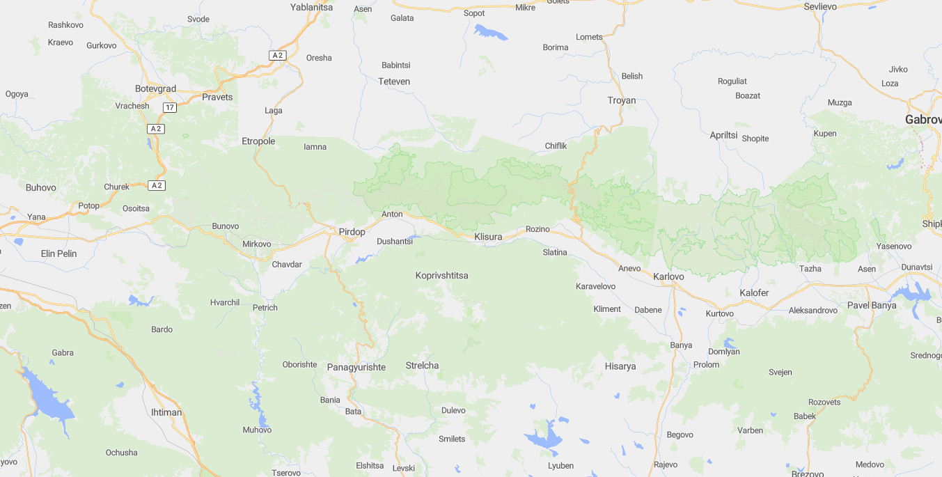
Display traffic, tolling, and logistics information on interactive, customizable maps across the globe.

Utilize our geo-coding API to convert your addresses to accurate coordinates.

Detect vehicle passage of a virtual barrier based on GPS data.

The Geo Location Platform powers tolling solutions globally, supporting all ISO 17575 tolling schemes. It is the perfect solution for all road classes, from highways into cities.

Traffic and mobility relies on the efficient processing of location information to provide road users instant information and feedback.
The Geo Location Platform powers Satellite Tolling in one of the most demanding toll domains - the European Electronic Tolling Service (EETS) market. The EETS market allows a truck driver to drive through all European states by using a single device. The new Directive (EU) 2019/520 has to be adopted by the European member states until 19 October 2021. This will enable a user-friendly integration of toll collection into the road user's daily journeys. With the Geo Location Platform you can already start today to power fully integrated mobility service. With our platform we ensure a high-quality solution that can be customized to your individual use-cases.
Please reach out to us to understand how we can guide you through all phases of the process establishing a tolling system in your country. Starting with the strategy or design phase we analyze your needs and outline how various aspects of a tolling influence your CAPEX and OPEX - even more importantly the user experience and therefore acceptance of your nation states' citizens.
During the design and build phase we customize our Geo Location Platform services to your needs where needed, while making sure you can rely on our standardized Software-as-a-Service offering as much as possible - this will limit your costs and ensures you benefit from continuous enhancements over the lifetime of your system.
The typical lifetime of a Satellite Tolling solution exceeds 10 years. Therefore we make sure to operate our services for you, enabling a unique user experience for your road users and ensuring industry leading key performance indicators.
The European nation states strive to be the first climate-neutral continent through the European Green Deal. The global development towards electric vehicles removes a large portion of state income - the fuel tax. Therefore nation states need to establish alternative ways to fund their infrastructure. A well setup tolling system is a fair method that ensures to collect toll road usage payment from those who utilize the infrastructure a lot, while those who drive less, pay less.
The most important goal is to make tolling transparent and fair. The Geo Location Platform enables you to do so.
The Geo Location Platform caters the increasing integration in the mobility world to enable Intelligent Mobility Services. In the traffic domain, the stakeholders are constantly on the verge to enhance their users experience when travelling through a city, utilizing public transport or are on their routes on highways.
With our map matching and routing APIs we enable you to build a variety of applications for the traffic domain. Our system can help to contextualize raw position and meta data generating real-world information to understand and optimize traffic flows or delivering business relevant information.