
Routing API
 Need to find directions between point A and B? Or need to calculate a route between multiple sequential waypoints?
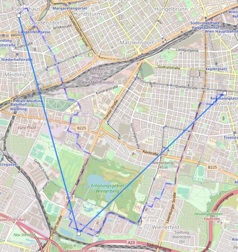
The Kapsch Routing API calculates the fastest or shortest route between two or more locations – and produces a set of road links with corresponding geometry.
Need to find directions between point A and B? Or need to calculate a route between multiple sequential waypoints?
The Kapsch Routing API calculates the fastest or shortest route between two or more locations – and produces a set of road links with corresponding geometry.
- Heavy Vehicles
- Light Vehicles
- Cycling
- Walking
Our Routing API is based on the Open Street Map road network - the most accurate, up-to-date, and feature-rich open-source geodata source, with over 1.5 million contributors across the world.
In addition, the API:- Can provide the response in both 'JSON' and 'GeoJSON' format.
- Allows for setting a maximum turning angle for intersections – useful to prevent heavy vehicles from making sharp turns.
You want to know what's new? See API changelog
Get started!
Base URL address: https://api.geo-location-platform.com/roadnetwork/europe/v1/calculateroute/{routingMode}
Use POST method on above endpoint and send data as shown in request example below.
Endpoint requires authentication. API_KEY needs to be provided to you by Kapsch TrafficCom.
Please contact us for API usage conditions and to acquire your API_KEY.
Usage of 'demo' API_KEY in examples on this page is not allowed for your productive systems.
Please contact us and request a trial account if you are interested to see how the map matching performs.
Following options can be used:
- URL path parameter "routingMode" - the routing algorithm currently offers 'fastest' and 'shortest' mode
- query parameter "maxDistance" - maximum distance to search for path in kilometers, default 50
- query parameter "tryBothDirection" - by default routing is done by searching possible route in one direction from the nearest road, however this can be extended to try in both directions in case the middle of the road can be traversed 'true'/'false', default is 'false'
- query parameter "travelingMode" - supporting 'heavyvehicle', 'lightvehicle', 'cycling' and 'walking'
- query parameter "maxTurningAngle" - maximum turning angle in intersections - useful to limit heavy vehicle turning angles on U-turns, default 180 degrees
- query parameter "format" - supporting 'json' and 'geojson' formats, see examples below
Request example
Use HTTP POST method https://api.geo-location-platform.com/roadnetwork/europe/v1/calculateroute/fastest?maxDistance=1000&tryBothDirections=true&travelingMode=heavyvehicle&maxTurnAngle=135&format=jsonand send below request body. Multiple intermediate points are supported.
JSON Response example
GeoJSON Response example